
The loop is a combination of the Trail of the Coeur d'Alenes, sections of the NorPac Rail Trail, the Route of the Hiawatha, and the Old Milwaukee Road - as well as a short section of highway.
My (Sean's) interest was peaked and a plan was quickly formulated for me to sneak away for 5 days in early October to tackle the ride. The weather forecast looked perfect and the drive down could be done in a day. I left Monday morning, arrived in Wallace, ID that evening, and headed out on the loop Tuesday morning.
Please enjoy this photo essay detailing some aspects of the tour.
And, if you're looking for bikepacking products, our shop stocks bikepacking bags from Revelate Designs.
Cheers!
 |
| Wallace ID is an old silver mining town with plenty of old buildings and a compact downtown. There are plenty of accommodation options - I choose the historic Ryan Hotel which was quaint. |
 |
| Summit of Lookout Pass, looking east, riding on the NorPac trail. Road bikes not recommended, cyclocross/touring bikes are the best choice. Be prepared - there are not a lot of services around and the ground water in the area is not drinkable, even if filtered, due to mine waste. |
 |
| Entrance to the Route of the Hiawatha. You can also head east from here along the NorPac trail all the way to St. Regis. NOTE: check info on when the route is open. |
 |
| Entrance to the Taft Tunnel - over 8000ft long. As is my custom, I did very little research and, to my chagrin, found this tunnel closed by huge wooden "lord of the rings type" doors just beyond the darkness. |
At this point I was in a bit of a pickle as I did not know if there was a way around this closure. I definitely did not want to backtrack up and over Lookout Pass and with no cell signal at all, could not find my position on the map. So, I decided to ride the I-90 east to Haugen to look for a map and/or info on how to get around this spot. Luckily, I met a woman at the gas station who knew the area and suggested I take the gravel road 506 over the pass and reconnect with the Route of the Hiawatha on the other side of the Taft Tunnel (map below). This unfortunate detour did however give me the opportunity to ride a section of the NorPac Trail from Haugen back west to the Taft Tunnel.
 |
| The Route of the Hiawatha in green with forest service roads in brown. IT IS NOT RECOMMENDED to ride the route in the off season for two main reasons: hunting season and many of the tunnels become bear dens in winter. |
The 506 road was a real beast. 5kms straight up to the summit on washboarded fireroad meant I was unable to ride and had to walk/push my bike up. By the time I reached the summit, it was getting close to dark and I still had a long way to go to get to Avery, which is where I was hoping to spend the night.
Little did I know that the next 20kms to Avery would be nothing but washboarded, slightly downhill fireroad the whole way. I have never been so punished by a road before: my hands were cramping, they were getting bashed by the washboard, and by the time I got to Avery I could not hold onto the handlebars anymore. Also somewhat disconcerting: the sounds of gun fire all the way down that road, including automatic tat-tat-tat gunfire near the bottom.
 |
| Plenty of railway relics around. This was along the NorPac Trail on my way back from Haugen heading towards the Route of the Hiawatha. |
I finally emerged from the washboard-soul-crushing-road into the tiny hamlet of Avery, ID after the sun had set. It was very dark and the only place open was Sheffy's Store and Motel. I grabbed a quick bite from their deep fryer and refilled on water as this appeared to be the only place around to load up on provisions. I couldn't locate the campground and was totally exhausted after spending 10hrs in the saddle so I elected to "bandit camp" beside the old railway building, which is now the post office, library, and meeting rooms.
Tomorrow I was aiming for Harrison, ID via St. Maries.
 |
| Pretty cool to see this old signal along the road between Avery and St. Maries. Pretty sure the number is a mile marker. |
 |
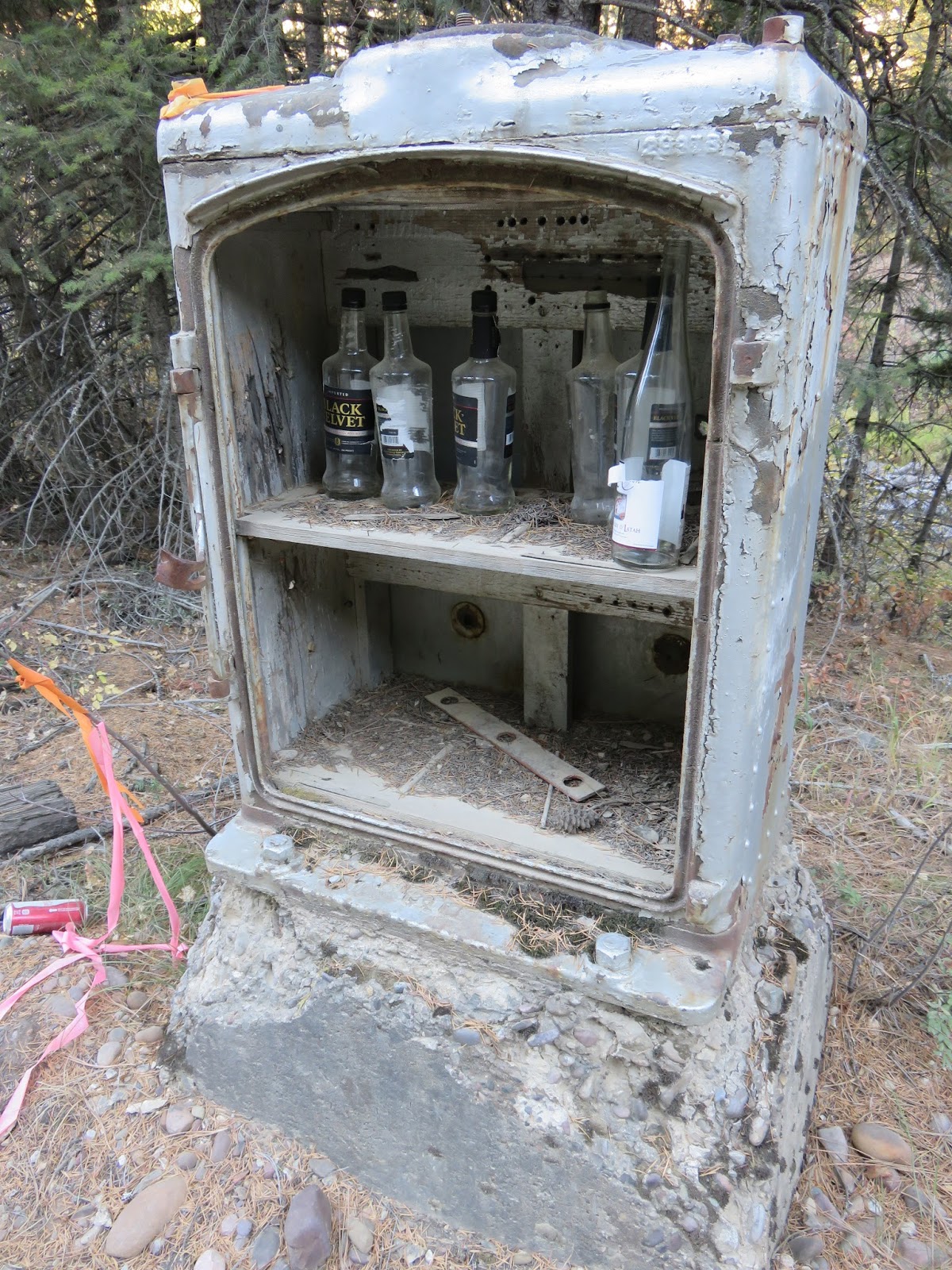
| Sights and sounds along the road to St. Maries. |
 | |||
| Home made art along the Trail of the Coeur d'Alene just outside of Harrison, ID - my home on night 2. |
Tomorrow, my last day on the Bitterroot Loop, would be completely on the TcA back to Wallace.
 |
| The entire length of the Traill of the Coeur d'Alene was this immaculate asphalt surface. Felt like heaven compared to the soul-destroying washboard fireroads from Day 1. |
 |
| So lovely. The trail rolls through farmlands, a beautiful interlakes area, and gradually works it way west into the silver mining area near Wallace. There are rest areas and washrooms along the way but no services except when the trail runs through Cataldo, Enaville, and Kellog. |
 |
| Most of the original rail bridges are still in place. This one was built in 1924 with some being as old as 1904. |
 |
| "The Snake Pit" was originally built back in 1880 when the railroad came through to support the silver mining operations up valley. Over the years its been a brothel, hotel, bar, - you name it. Definitely worth a stop for some refreshments. Also worth stopping at is the Mission Inn in Cataldo. It too was built to support the railway men back in the day. |
I used Wallace as a home base but Kellogg would be fine as well. It looked to be a little but bigger then Wallace but I choose Wallace due to it's quaint downtown and rustic feel.
One nice thing to consider: you can leave your car parked on the street in Wallace while you're on your tour, no problems at all. There is also a campground in Wallace, located right next to the City Limits Brew Pub if beer is your thing.
I highly recommend this tour. It was great, can be done as a motel-stay style tour if sleeping on the ground isn't your thing. Most importantly, due to it being almost exclusively on railroad grades, there are very few steep sections (2 in fact: coming out of Mullan and climbing up the the Taft Tunnel).
And finally, just to give you a little flavour of why bikepacking is so great, watch this video from the folks at Salsa.
No comments:
Post a Comment